Beech Farm Road, CR6
Business rates & charges may apply
- SIZE
Ask agent
- SECTOR
Land for sale
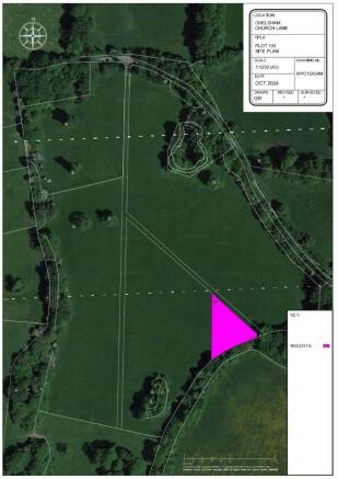
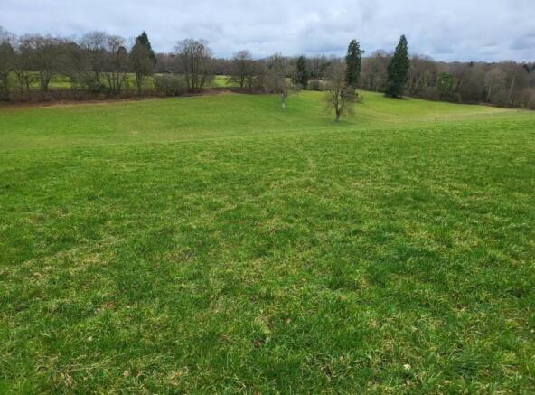
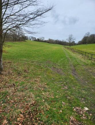
Description
£20,000.
Chelsham is a rural village in Surrey, England, part of the Tandridge District, about 15.3 miles south of London and 1 mile east of Warlingham. Within the Chelsham and Farleigh parish, it sits on the North Downs, offering scenic views. Historically, it's noted in the Domesday Book (1086) as "Celesham," with evidence of prehistoric, Roman, and Saxon activity. Key landmarks include St Leonard's Church (13th century, rebuilt 1871), Worms Heath, and Chelsham Court Farm. The 2001 population was 356. It's a quiet area with trails, local shops, and cafes, ideal for a peaceful retreat. The central postcode is CR6 9PB, with Woldingham station 1.9 miles away.
Beech Farm Road, CR6

NEAREST STATIONS
Distances are straight line measurements from the centre of the postcode- Woldingham Station1.6 miles
- Whyteleafe South Station2.7 miles
- Oxted Station2.8 miles
About Tribute Land, High Wycombe
Tribute Land, Berry Farm, Mudds Bank, Stokenchurch, Wycombe Road High Wycombe, Buckinghamshire, HP14 3RSNotes
Disclaimer - Property reference Woldingham. The information displayed about this property comprises a property advertisement. Rightmove.co.uk makes no warranty as to the accuracy or completeness of the advertisement or any linked or associated information, and Rightmove has no control over the content. This property advertisement does not constitute property particulars. The information is provided and maintained by Tribute Land, High Wycombe. Please contact the selling agent or developer directly to obtain any information which may be available under the terms of The Energy Performance of Buildings (Certificates and Inspections) (England and Wales) Regulations 2007 or the Home Report if in relation to a residential property in Scotland.
Map data ©OpenStreetMap contributors.